
Using Road Maps and GPS
Tracy Nelson Maurer
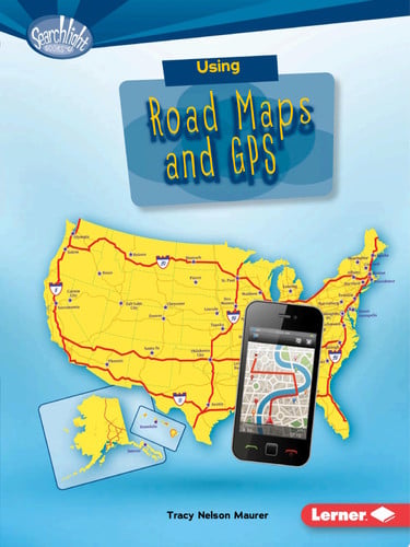
Using Road Maps and GPS
Age Rating, Reading Level & Content Guide
by Tracy Nelson Maurer
The text is written at a 2nd grade reading level, the subject matter is intended for younger children (ages 5–8), and the content is gentle with no concerning themes.
We may earn a commission from these links. Bookshop.org supports independent bookstores with every purchase.
About This Book
Have you ever wondered how to find the fastest way across the country or discover the best camping spots along the road? Imagine holding a map or using a GPS that guides you step by step through every twist and turn. But how exactly do these tools work, and what secrets do they hold to help you explore?
Themes
Quick Assessment
This early reader book introduces children ages 5-8 to the basics of using road maps and GPS devices. It combines simple, informative text with engaging photos and captions to explain how these tools help with navigation and trip planning. Perfect for young readers interested in geography and travel, it supports learning about maps in a clear and accessible way without any challenging content.
Why we rated Using Road Maps and GPS 7C
Using Road Maps and GPS is written at a Level 2 reading level across 40 pages. Strong independent readers around grade 3.0 can typically handle this book on their own; with parent or teacher support, Using Road Maps and GPS works for readers up to grade 4.0.
We rate Using Road Maps and GPS as 7C ("Clear") because the content sits in the "Gentle" range — no conflict beyond everyday childhood experiences. Across our four dimensions (emotional, physical, social, thematic) the book reads as evenly gentle; no single dimension stands out as a concern.
No specific content flags were raised by community reviewers, which is consistent with the gentle intensity score.
Thematically, Using Road Maps and GPS explores maps, adventure, science & nature, and education — these threads give the book room to mean different things to different readers.
Good fit for
- ✓ Children in the Ages 5-8 range — the maturity and attention span match the story's pacing.
- ✓ Patient readers who enjoy slower, character-driven stories.
- ✓ Kids drawn to stories about maps, adventure, science & nature.
Maybe not for
- ! Reluctant readers who need a fast hook — the pacing here rewards patience.
For Parents
Content Intensity
7C — ClearNo conflict beyond everyday childhood experiences. Safe for sensitive readers.
Was our "Gentle" content intensity rating accurate for this book?
Reading Insights
Hook Factor
2/10A steady, thoughtful read that rewards patient readers.
Discussion Potential
1/10A lighter read — great for independent enjoyment.
Book DNA
Multi-dimensional content fingerprint
Similar Books
Based on content and theme analysis
All about Road Maps and GPS
Barbara M. Linde
All about Road Maps and GPS
Barbara M. Linde
Reading road maps
Ian F. Mahaney
Reading road maps
Ian F. Mahaney
Using Topographic Maps
Tracy Nelson Maurer

Using Topographic Maps
Tracy Nelson Maurer
Reading road maps
Ian F. Mahaney
Reading road maps
Ian F. Mahaney
Mapping Your Way (Map Readers)
Ana Deboo

Mapping Your Way (Map Readers)
Ana Deboo
Using and Understanding Maps
Scott E. Morris

Using and Understanding Maps
Scott E. Morris
Details
Book Length
- ISBN
- 9781512485691
- Pages
- 40
- Publisher
- Lerner Digital ™
- Published
- 2017
- Type
- Fiction